
Using Compasses and Coordinates: Mastering Map Skills in Earth Science
Zoom In on the Needle… Then Zoom Out to the World
You hold a compass in your hand. The needle flicks, steadies, and points north. At that moment, you’re learning the compass skills students have relied on for centuries — the same techniques used by explorers, scientists, and navigators.
Now zoom out: That simple tool is a gateway to understanding directions in earth science, from global coordinates to real-world land navigation.
In this article, we’ll cover how to use a compass and map in class, introduce latitude and longitude activities, and explain how to teach map reading skills through an engaging scavenger-style challenge — all enhanced by JoVE’s videos for middle and high school.
📹 Learn how direction works using student-friendly demonstrations.
Why Compass Skills for Students Still Matter
Even in today’s GPS-dominated world, teaching compass skills for students builds vital abilities:
- Spatial awareness
- Critical thinking
- Navigation under real-world conditions
Plus, It also supports NGSS-aligned science standards — helping students connect maps with concepts like tectonic movement, climate zones, and fieldwork analysis.
🎥 Watch JoVE’s “Know Your Compass” to help students understand how to handle and read compasses correctly.
Key Map Reading Skills to Cover in Class
To effectively teach map reading skills, start with core concepts:
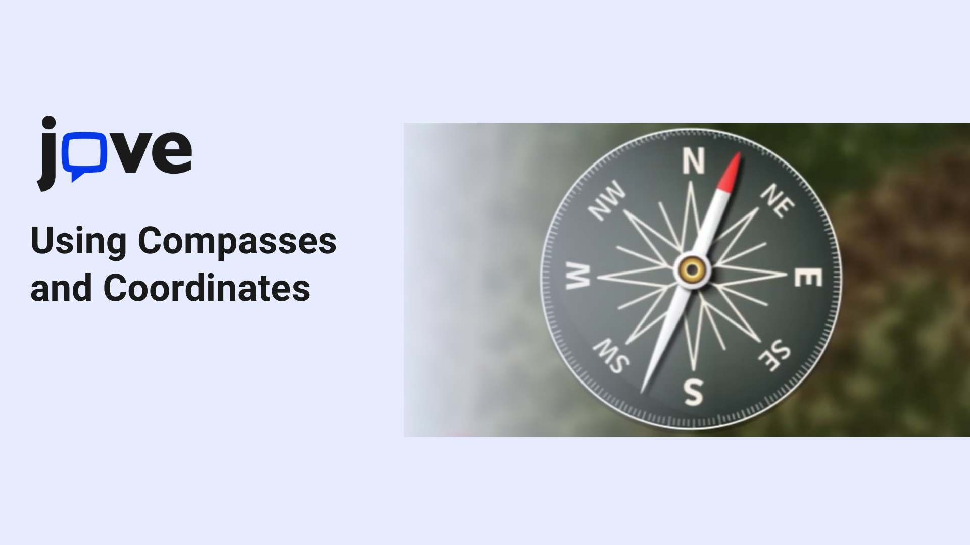
- Compass Rose & Cardinal Directions: North, South, East, West, and the in-between bearings.
- Latitude and Longitude: How the global coordinate grid helps us locate any point on Earth.
📹 Watch how location works with visual context from JoVE.
- Equator & Prime Meridian: Anchor lines for Earth’s navigation system.
- GPS vs Traditional Tools: How digital tools build on compass skills for students and analog mapping.
Use globes, printed maps, and interactive tools to connect terminology with application.
Classroom Activity: Find the Coordinates Challenge
An engaging way to teach latitude and longitude activities and reinforce earth science navigation.
Objective:
Practice teaching geographic coordinates to students using real maps and compasses.
Materials Needed:
- Custom classroom or outdoor map
- Grid with latitude and longitude
- Compass or compass app
- List of coordinates and directions
- Small hidden markers or clues
Instructions:
- Split students into teams.
- Give each team a set of clues including coordinates and compass directions.
- Teams navigate the map to find the clues.
- Final challenge: plot their location using geographic coordinates.
This activity combines map reading skills with critical thinking and collaboration.
📹 Reinforce it visually with JoVE’s map navigation video.
👉 Want more like this? Explore JoVE’s science activity videos for classrooms.
Common Misconceptions About Compass and Map Use
Avoid these pitfalls when teaching compass skills for students:
❌ “North is always at the top of a map.” → ✅ Map orientation varies
❌ “The compass needle points to the North Pole.” → ✅ It points to magnetic north
❌ “Longitude comes before latitude.” → ✅ It’s always latitude first
Real-World Applications of Earth Science Navigation
Beyond the classroom, compass skills for students are practical for:
- Geology fieldwork
- Search and rescue navigation
- Environmental monitoring
- Outdoor recreation and hiking
Mastering map reading skills connects students to the world — digitally and physically.
Conclusion: Teaching Geographic Coordinates to Students Builds Confidence
By focusing on teaching geographic coordinates to students and how to use a compass and map in class, you give them tools to understand the world’s structure and direction.
JoVE’s visual learning resources bring earth science navigation to life with clarity and confidence.
📘 Book a Demo and Unlock Full Access of JoVE — Explore JoVE’s science videos that support compass skills for students, latitude and longitude activities, and more.

